New WRI Products
By Keith Wagner, Director of Maritime Operations
|

|
Weather Routing, Inc. (WRI) is pleased to announce several new products that will provide additional information to land-based operations and the vessel bridge team in the event of potential hazardous port calls or transits.
Rolling/Resonance Alerts
WRI has also recently improved our analysis and alert system for conditions that may cause potentially dangerous rolling conditions. Through the use of the vessel Metacentric Height (GM) and natural roll period, and analysis of expected wave height/direction relative to the vessel course heading, WRI evaluates for the following potential concerns that can result in safety issues for a vessel:
- Parametric Rolling - usually occurs when seas are generally head or stern.
- Synchronous Rolling - usually occurs when seas are generally beam and the wave components are close to the vessel’s natural roll period.
- Surf-riding - occurs with following/quartering seas when a vessel is captured and carried forward by a single wave.
- High-wave attack - occurs with following/quartering seas when vessel speed is nearly the same of the speed of the dominant waves.

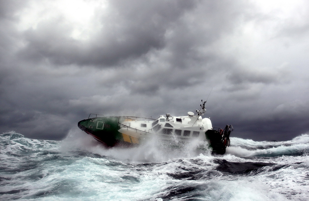
A vessel rolling in heavy weather conditions.
WRI evaluates the possibility of these dangerous conditions and alerts our vessels via our traditional weather forecasts. Usually a change in speed or course heading will minimize/avoid the threat, if any significant rolling motions do occur.
Our experienced marine meteorologists are available 24/7 for consultation to discuss any specific weather or route concerns. We always welcome your feedback and comments, as we strive to provide your vessels with detailed information required to safely prosecute all aspects of a voyage.
|
2015 Atlantic Tropical Outlook
By: Mike Stockwell, Meteorologist
|

|
The first few months of 2015 have been marked by a rather active storm track across the Atlantic. Frequent wintertime storms have marched from offshore of the East Coast U.S. and Canadian Maritimes, while early spring cut-off gales have plagued waters from the Azores into Western Europe. These systems have brought several strong frontal passages and large swells that have posed challenges to trans-ocean crossings. There hasn't been much of a letdown as the calendar has turned to April and May.

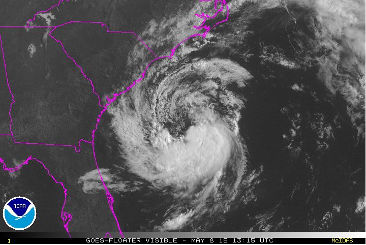
Subtropical/Tropical Storm Ana brought an early start to the Atlantic Tropical System in early May, but will this be a sign of things to come?
So, does this active first half of the year translate into an active tropical season for the Atlantic basin? There are two really good indicators that can provide a clue for the type of season we will experience. These indicators are the El Niño Southern Oscillation index (or simply ENSO), and sea surface temperatures across the Atlantic.
The ENSO index is the measure of sea surface temperatures across the East Pacific, which can affect global weather patterns. The ENSO status is currently a weak El Niño (or slightly warmer sea surface temperatures), and a weak to perhaps moderate El Niño is likely to persist through this autumn. El Niño events will typically bring the mid-latitude (non-tropical) low track farther south closer to the Tropical Atlantic. This can lead to increased upper level winds in the tropical latitudes, which is an inhibitor of tropical development. Additionally, below average to average sea surface temperatures are expected for the Tropical Atlantic over the next several months.
Taking the two above factors into account, we would expect a below average Atlantic Hurricane season for 2015 with a prediction of 7-9 named storms (tropical storm or hurricane). This prediction falls in line with recent years where a weak to moderate El Niño has occurred. Since 1990, there has been 7 tropical seasons where a weak to moderate El Niño has occurred, with the average being approximately 9.5 named storms during those years. This includes 2014, where 8 named storms occurred across the Atlantic. In comparison, the 20 year running average for the Tropical Atlantic is approximately 15 named storms per year.
While a below average tropical season is likely, one must keep in mind that it is individual storms, not seasons, that can bring severe impacts to coastal waters of the East Coast U.S. and Caribbean and over the open Atlantic. At the writing of this article, an atypical out-of-season system, Subtropical Storm Ana had formed, became a Tropical Storm, and brought direct impacts to the Southeast U.S. These systems that come into close proximity of land need to be given an especially watchful eye and, as always, we urge our clients to take the necessary precautions to ensure the safety of their crew and vessel. WRI's online tropical tracker and complimentary tropical summaries are a useful tool to stay in the know.
|
|
|


 Need a Forecast?
Contact our professional meteorologists


 Need a Forecast?
Contact our professional meteorologists

